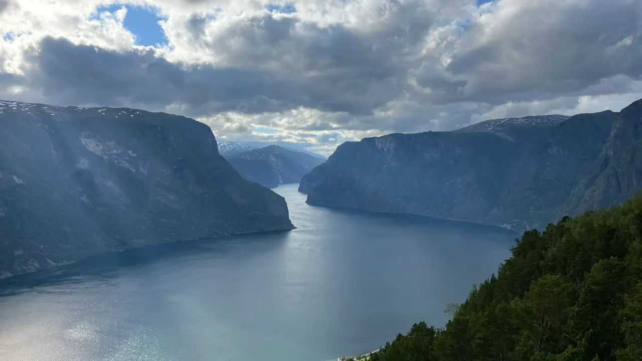
Photos become a route
Your ride.
As a map.
Upload the photos from your trip. Ridetales reads the GPS, rebuilds the route on real roads, and lays it out day by day.
Roadbook
Photos in.
Map out.
No GPX file, no tracker, no app running in your pocket all day. Just the pictures you already took.
- 01
Drop the photos in
JPEG, HEIC straight from the iPhone, all of it at once. The position and the time are already inside the file.
- 02
The road draws itself
Every place you stopped, joined over the real road network — switchback for switchback, with the day's real distance and riding time.
- 03
Send it as a page
Drag a waypoint, leave a photo out, then share one link. What arrives is your photographs on the map, not a folder.

The two screens
What you edit.
What they see.
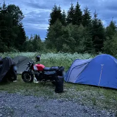
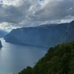
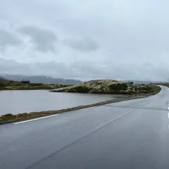
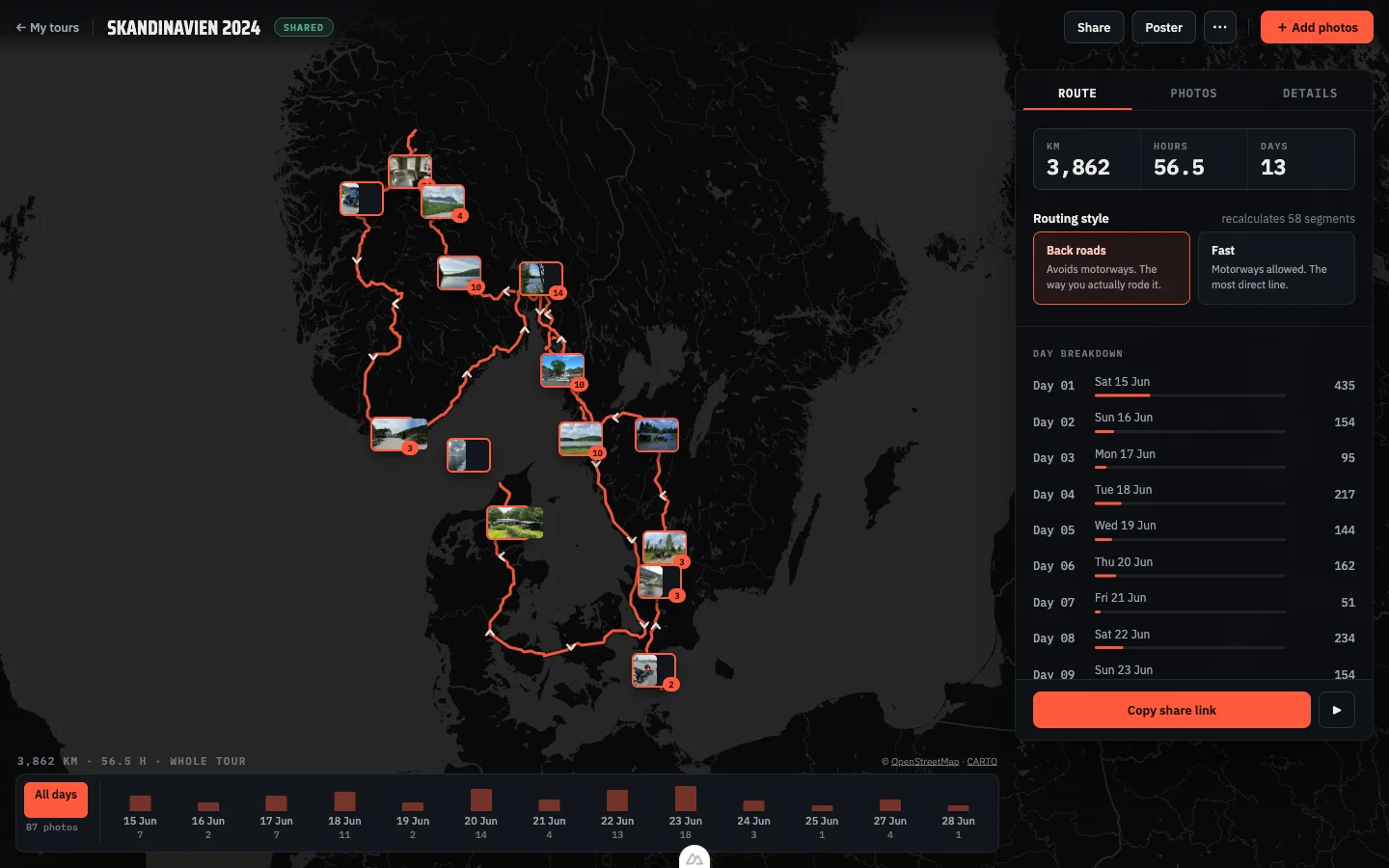
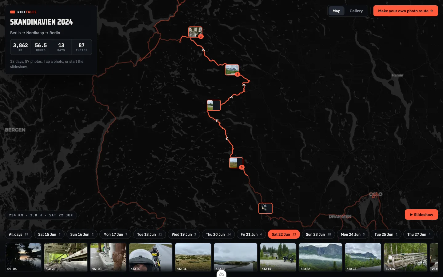
The same ride, twice: the screen you work on, and the page that arrives when you send the link. Your photographs are the markers on both.

Day by day
Town at dusk.
Pass at dawn.
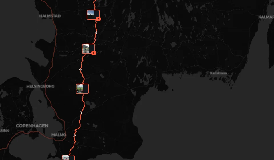
Laid out the way you rode it. Filter to one day, open a photo and see exactly where it was taken, or let the whole trip play as a slideshow in the evening.
Sharing
One link.
No account.
Send it to the people you rode with, or to your mother. They open the map, the route and every photo — read only, nothing to sign up for. Turn the link off whenever you want.
Your data
Originals stay in the EU
Nothing goes to third parties. Delete the account and everything in it goes with it, in one click.
Time zones
The right day, every time
The capture time and the GPS decide which day a photo belongs to, even when the ride crosses three zones.
Sharing
Revoke whenever you like
A share link is read only and yours to switch off. No one you send it to needs an account.
Ready for the next ride?
Bring the photos from the last one. The map takes about a minute.
Private beta · sign up by invitation